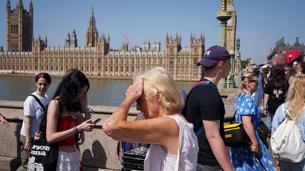
Heatwave to stretch into second week despite cooler air for some this weekend

- Published
Temperatures will fall in some parts of the UK this weekend, making it feel noticeably cooler - but the heatwave is set to continue with heat health alerts still in force for nearly all of England.
A strengthening north-easterly wind will shift the hottest spots from south-east England further west across the west Midlands and south-east Wales.
Amber and yellow heat health alerts issued by the UK Health Security Agency, external remain in place across large parts of England until 21:00 BST on Sunday.
It comes as five water companies announced hosepipe bans due to a lack of rain and increased water demand, while authorities have warned of the risk of wildfires.
How hot will it be this weekend?

While heatwave conditions will continue across many parts of England and Wales, a brisker wind means temperatures will still drop relative to recent days.
North-easterly winds mean areas experiencing the biggest drop in temperature will be those close to North Sea coasts, with highs on Sunday and Monday around 18-21C.
Even with the breeze it remains hot across the western half of England and Wales with highs of 26-30C widely, but 31-33C possible in parts of south-east Wales and south-west England.
The high temperatures and dry conditions coupled with freshening winds will result in extreme wildfire conditions for many parts of England and Wales through the weekend, the Met Office warned.
A National Fire Chiefs Council spokesperson said: "When the weather stays hot and dry, it only takes one spark to start a wildfire. What can begin as a small fire can spread incredibly quickly, putting people, homes, wildlife and our countryside at risk."
By Sunday, parts of Scotland and Northern Ireland will see more sunshine as temperatures rise slightly.
Parts of western Northern Ireland could reach or exceed the 25C heatwave threshold temperature.

People have been finding all sorts of ways to cool down
When will the heatwave end?
These changes to the weather do not mean an end to the heatwave.
It will heat up again next week widely, and while it will not be as hot as the past seven days, the heatwave criteria could be met in more of the UK by Wednesday or Thursday.
High pressure will remain centred to the north of the UK and the brisk east to north-easterly winds will gradually lessen with warmer air from northern France pushing back into southern England. Here temperatures will get back up to 32 or 33C.
Current forecasts suggest there is a chance that somewhere in the UK will reach 30C or more for 12 days in a row but this could come to an end by next weekend.
It comes as Friday saw temperatures exceed 35C, making it a record for the most 35+C days in a calendar year - bringing the total so far in 2026 to six.
It also brought the total of 34+C days to nine - another record.
Why heatwaves hit women harder
- Published2 days ago
Weather for the week ahead
- Published6 hours ago
Are more hosepipe bans likely?

Low pressure could bring some welcome rain by the end of next week
As the heatwave continues, more than five million people are under hosepipe bans due to concerns over the lack of rainfall and increased demand for water.
Anglian Water has introduced its first hosepipe ban in a decade which applies to customers in the east of England and begins at 01:00 BST on Saturday.
A ban for one million households supplied by Southern Water in Hampshire and the Isle of Wight has also come into force. South East Water has its own restrictions in place.
On Thursday, Cambridge Water also announced its first hosepipe ban in 30 years.
For most places, the dry spell is set to continue.
But with lower pressure sitting the other side of the English Channel the far south-west of England could see some showers on Monday. These should die out as they run further north on Tuesday.
It is not really until the end of the week that the chance of rain is greater. This currently looks confined to southern parts of England, and perhaps only briefly.
Most of the downpours may be over the near continent as high pressure is forecast to build back across the UK next weekend from the Atlantic. This would bring a cooler wind but no rain.
- Published1 day ago

- Published1 July